Mt.San Jacinto - Cactus to Cloud Hike
October 22th 2011
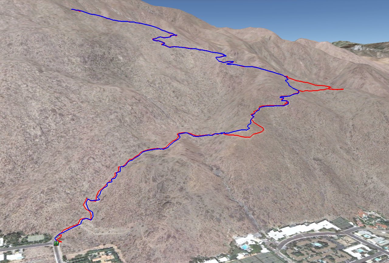
Entire 3D trail map
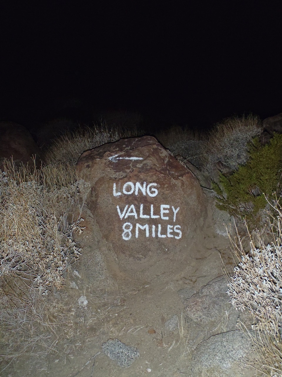
near the trailhead
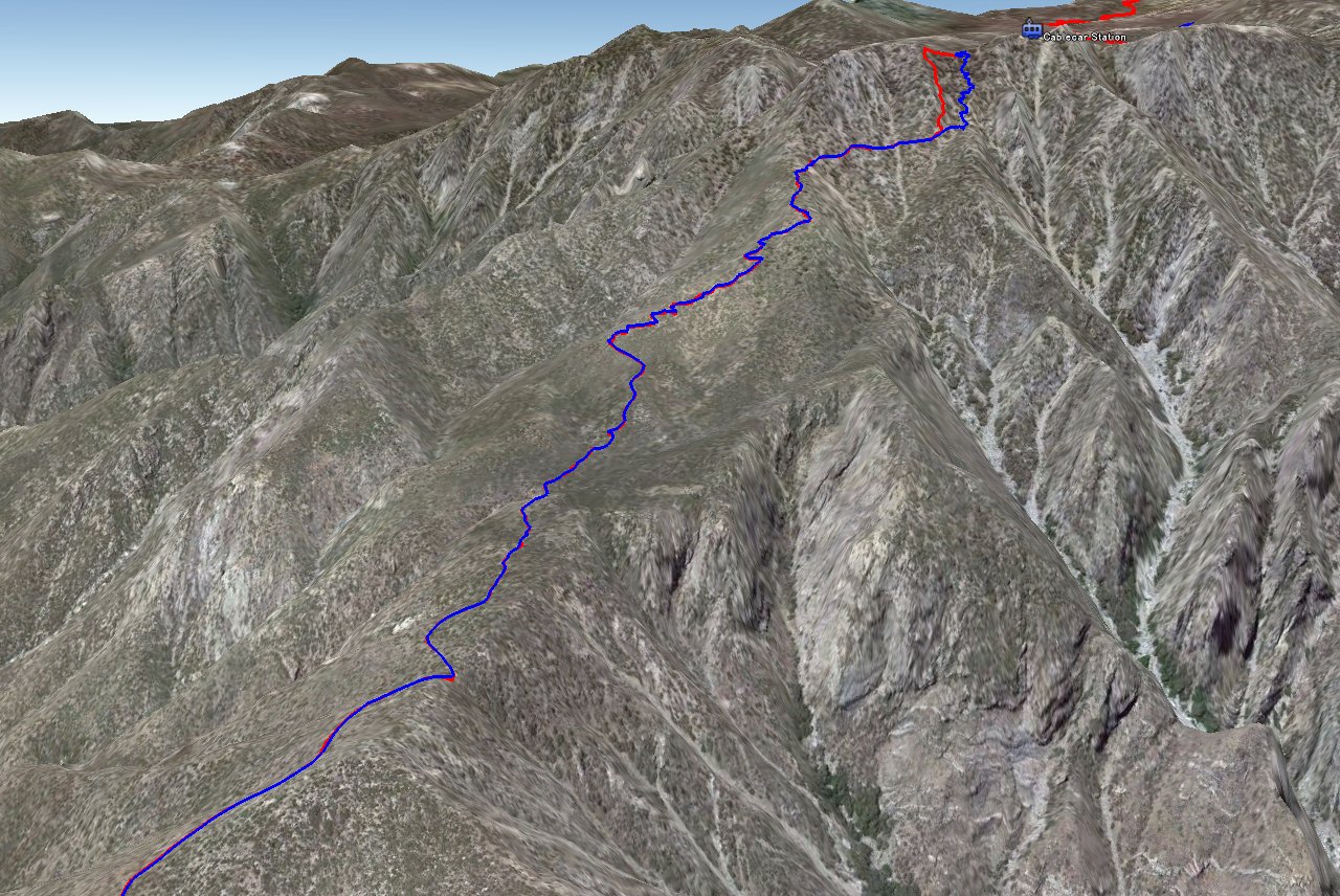
Up to Cablecar Station
Mt.San Jacinto Peak
Elevation Chart
Google Map
Google Earth
Hike Status :
Trailhead
: End of W.Ramon Rd. (Palm Springs)
Distance
: 29.5 mile
Elevation Peak
: 10,834 ft (Mt.San Jacinto Peak)
Total Elevation Gain
: 11,000 ft
Class
: 1-2
Time
: 17 hours
Showing 1-24 of 111 pictures |
Next -->