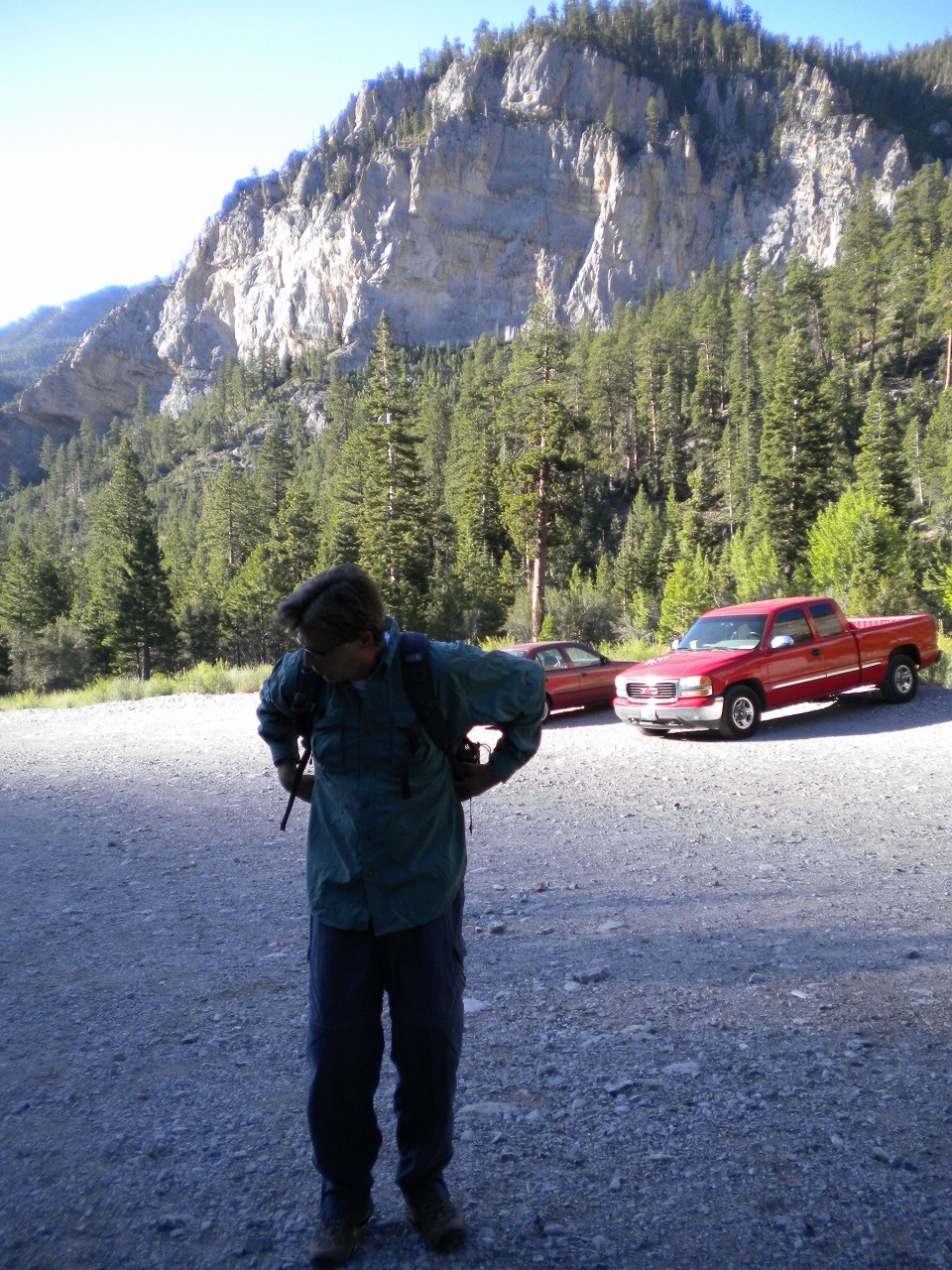
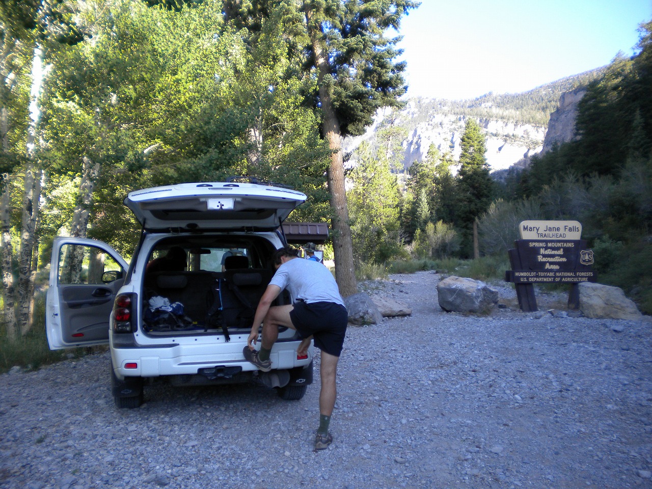
August 1st 2009
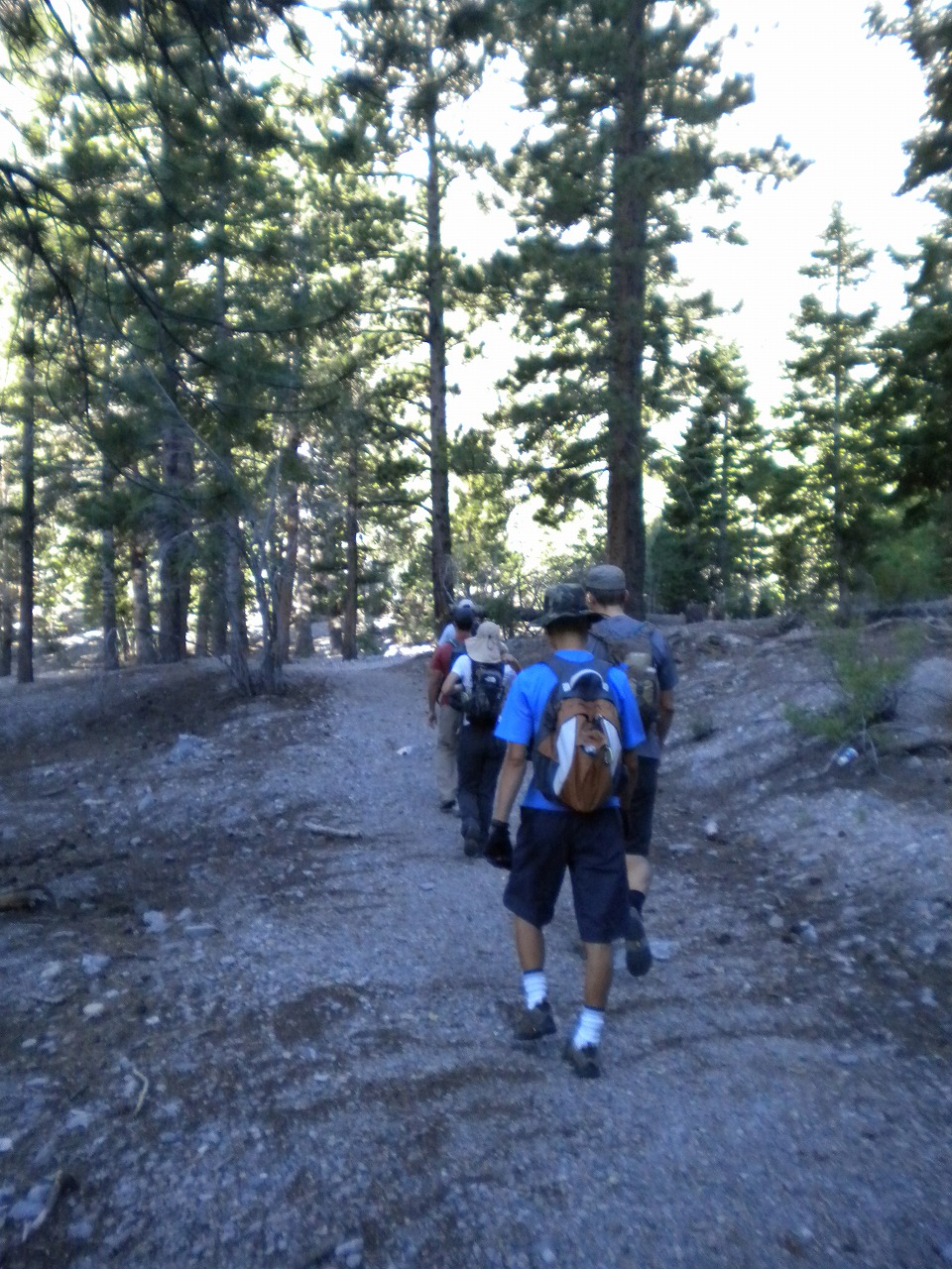
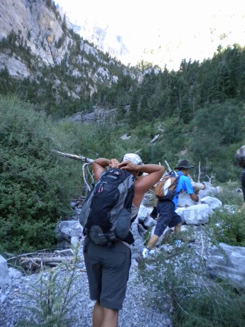
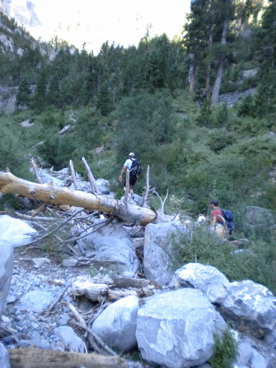
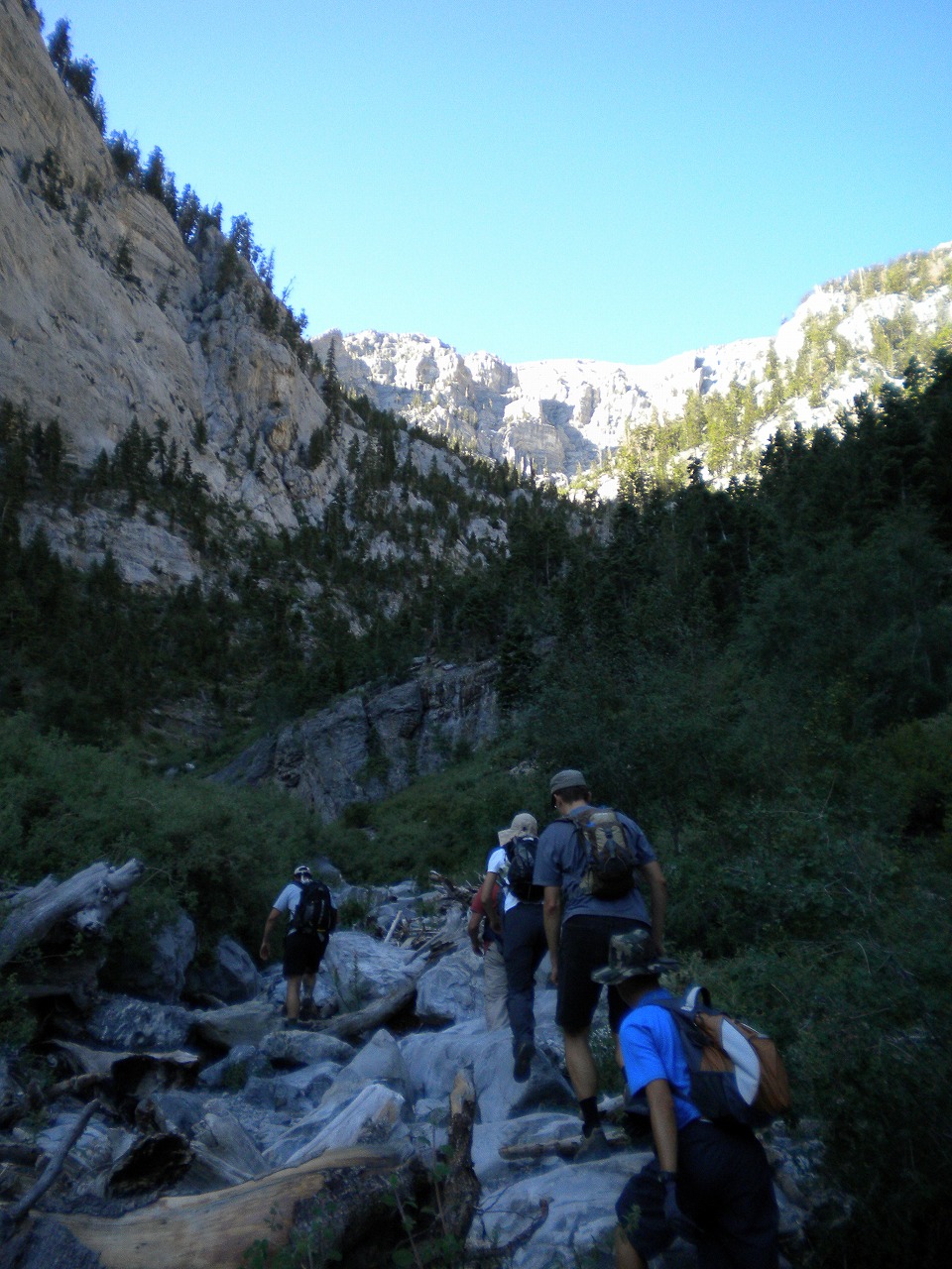
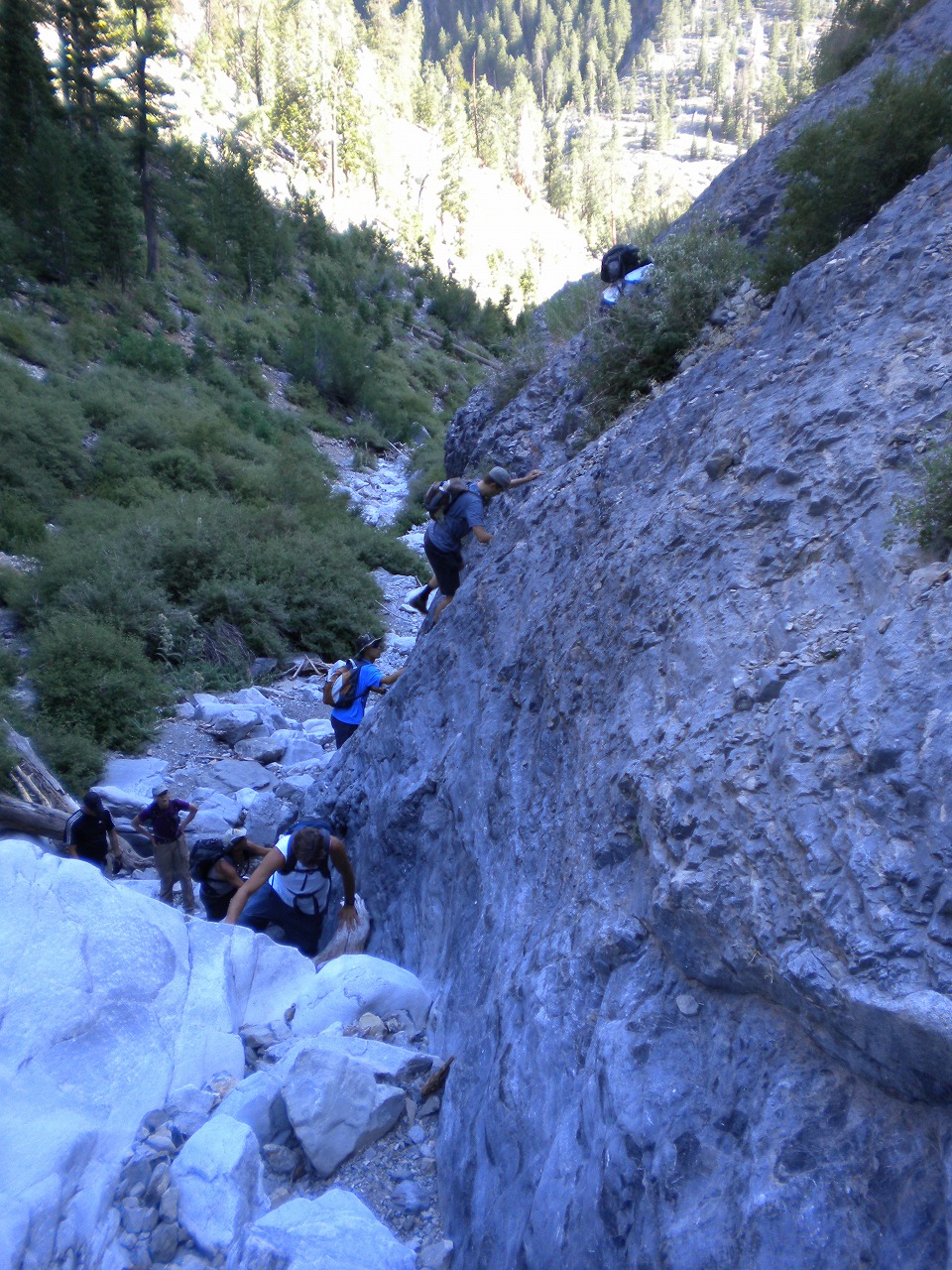
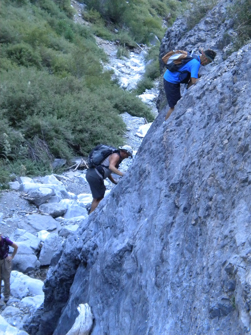
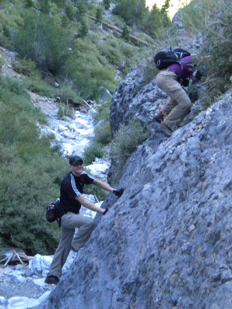
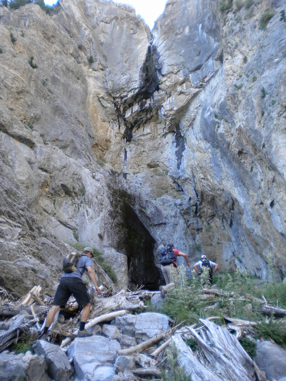
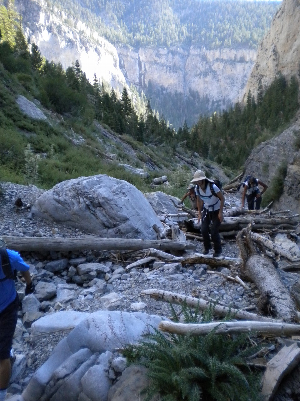
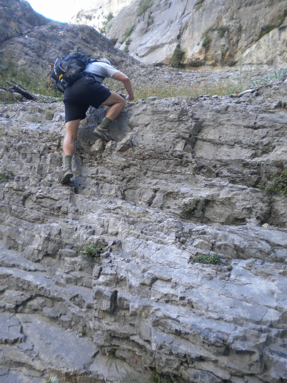
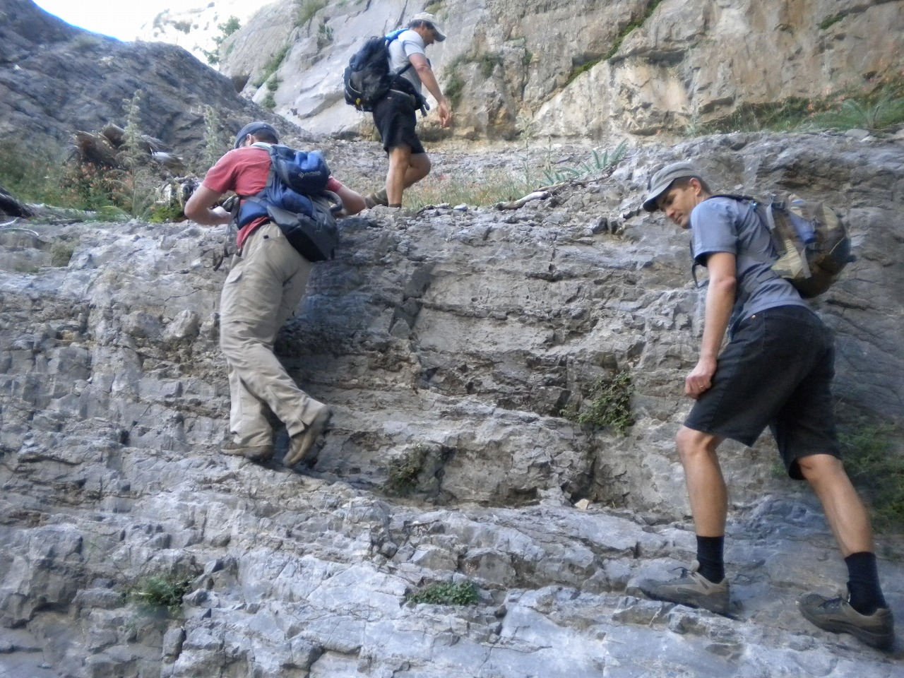
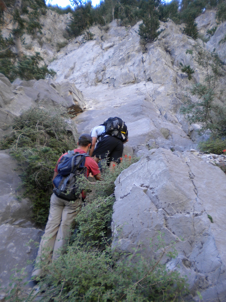
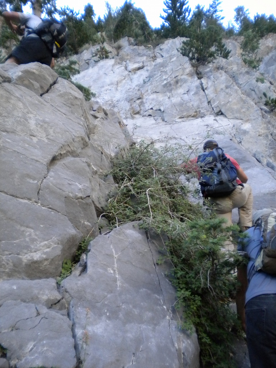
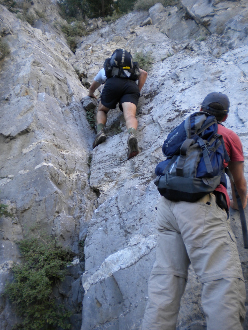
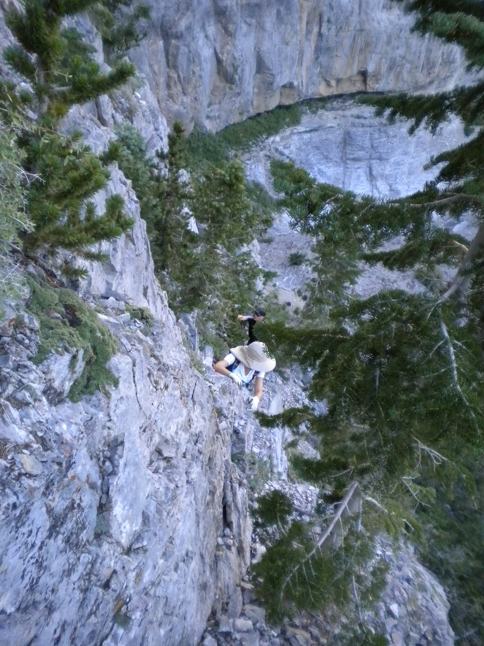
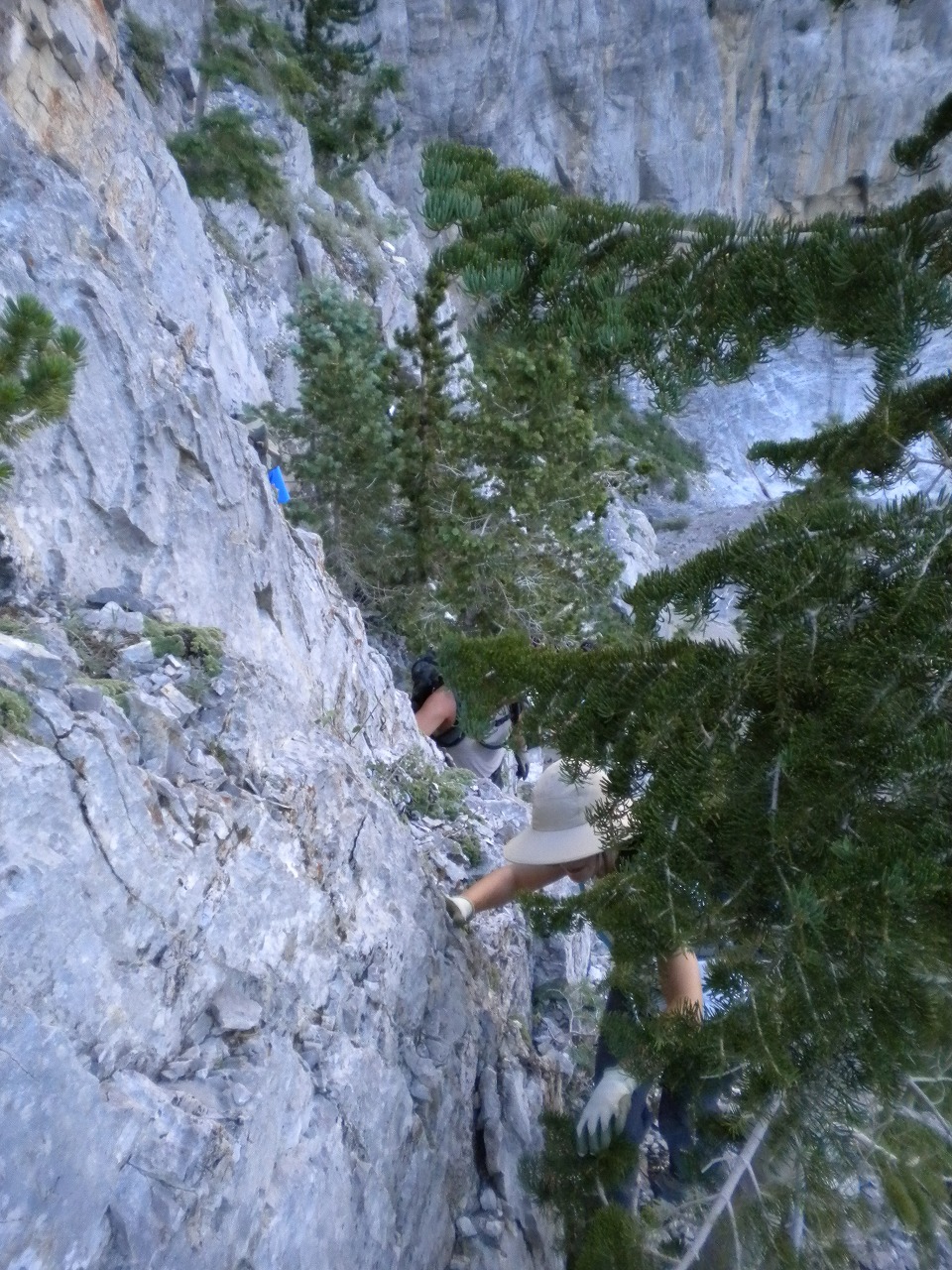
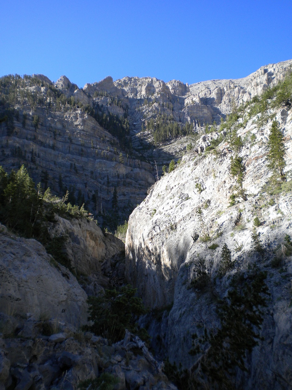
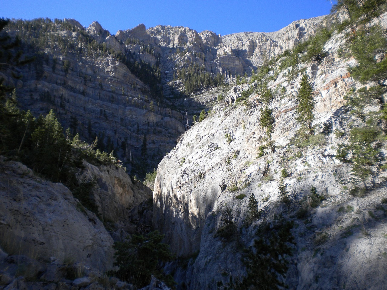
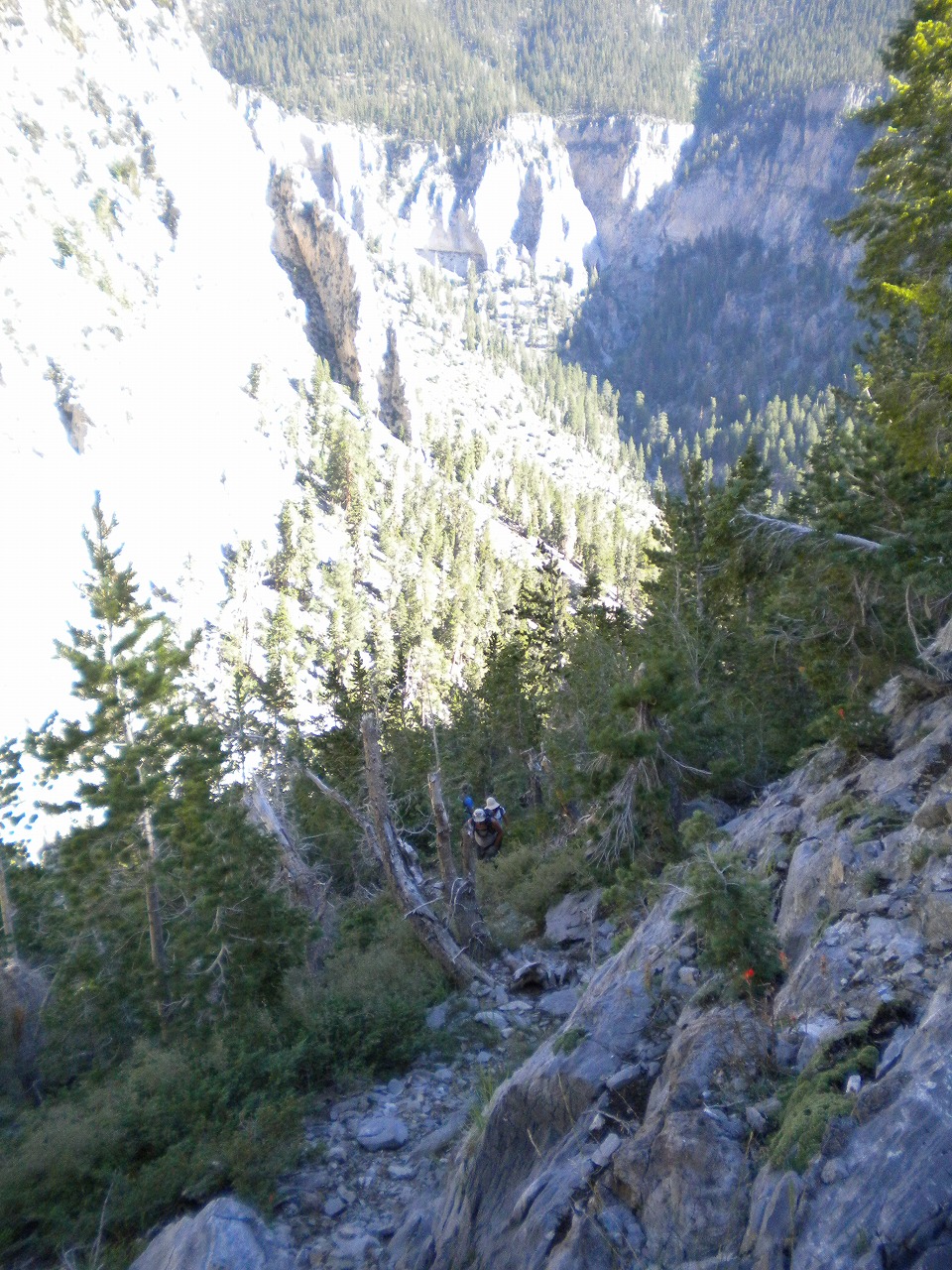
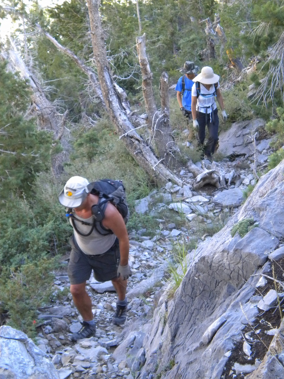
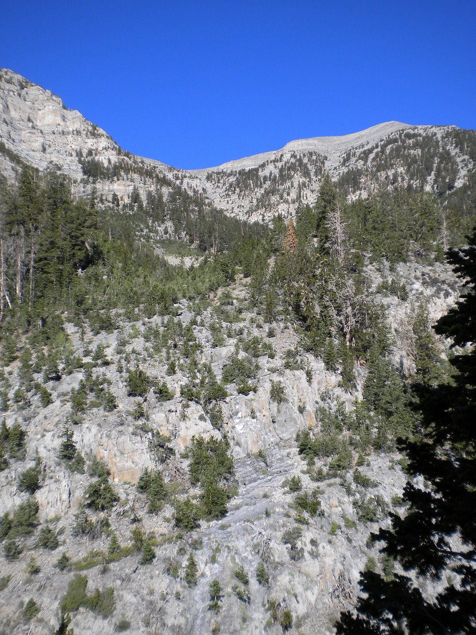
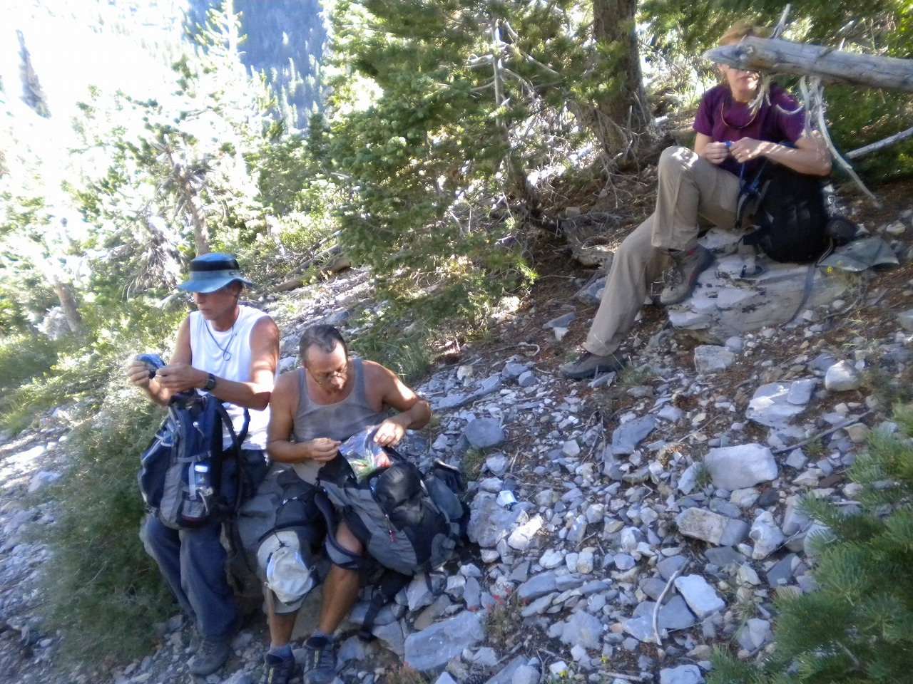
| I wanted to do this hike for long time. Its one of the most challanging hike in the Mt.Charleston area. The route is very hard to follow even I had GPS waypoint. There are so many vertical cliff blocking the way and seems too many options to go up. But I will stuck on the top of vertical cliff if I took wrong way. Fortunately, Branch Whitney took us exactly right pass that he wanted to. It took us 4 hours up, but I'm sure I can make it less than 3 hours. Its only 4 miles one way up and about 4,300 ft elevation gain. After passed the Big Fall, there were lots of class 3 - 4 scramble. Even the class 2 part was hard to scramble since its steep scree slope. We saw lots of Airplane crash debris on the route. I saw tire, engine parts, propeller and lots of body and wing parts. |
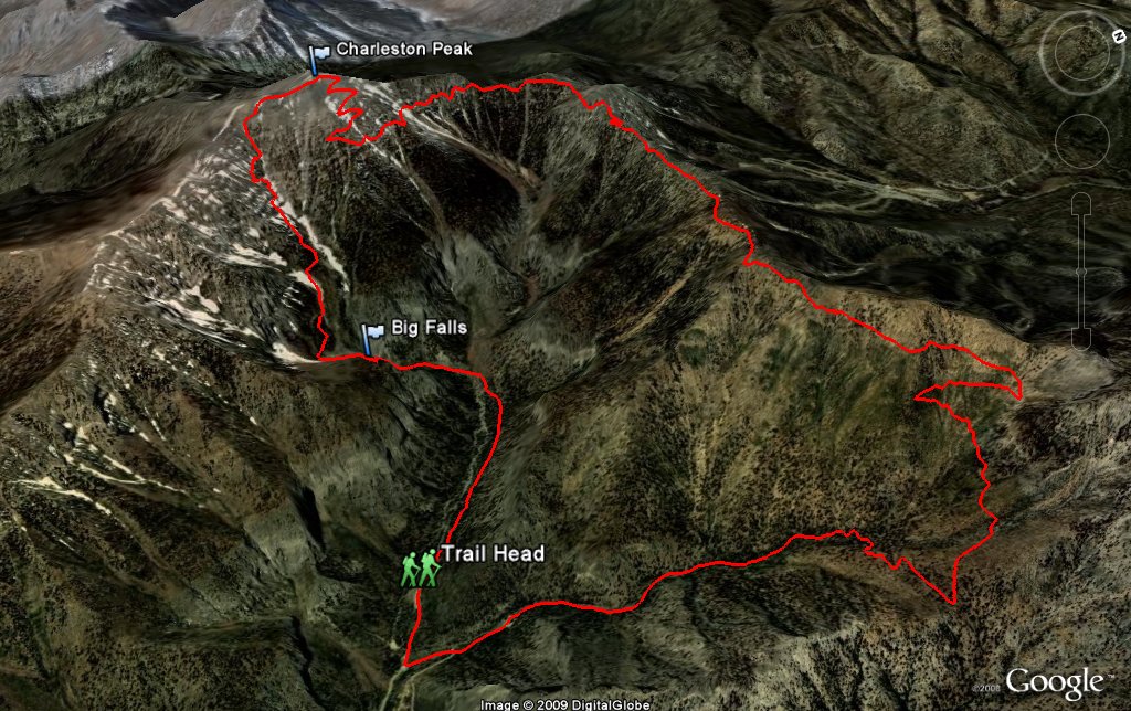 Entire 3D trail map |
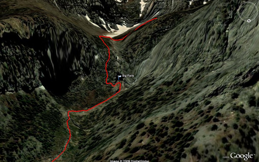 Big Fall |
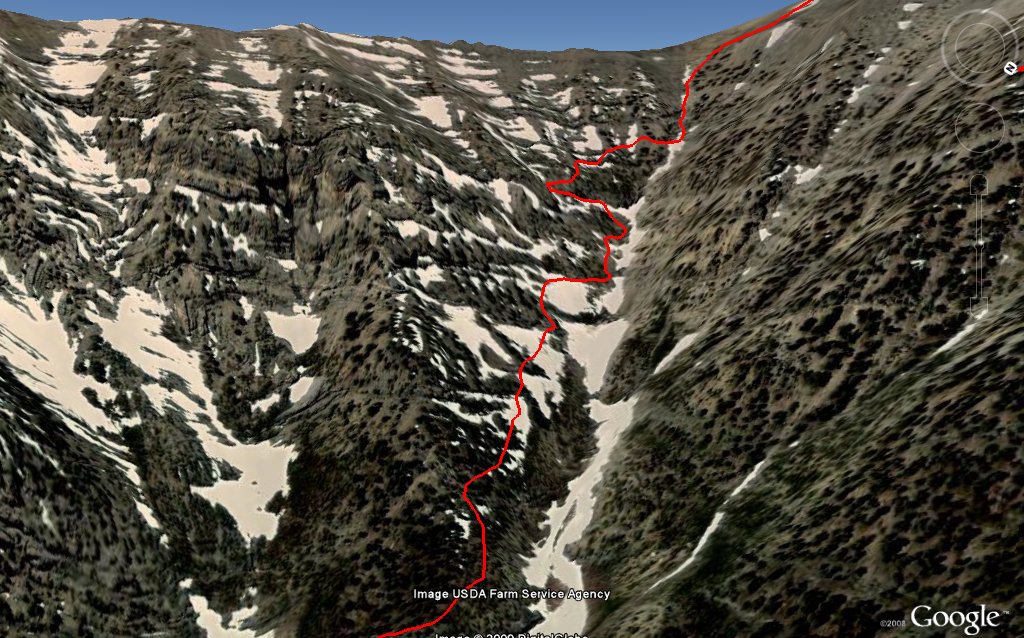 Airplane Crash Gully |
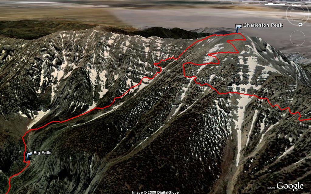 Charleston Peak |
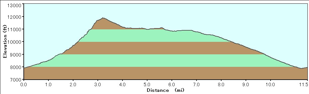 Elevation Chart |
| Click here to see 3D trail map on Google Earth |
| Showing 1-24 of 91 pictures | Next --> |
|
|
|
|
|
|
|
|
|
|
|
|
|
|
|
|
|
|
|
|
|
|
|
|
 |
 |